Mission & airspace review
We confirm the visual goal, location, deliverables, airspace, access, timing, and final price before scheduling the flight.
SkyPixels — Where Getting the Picture Is Our Passion
Your mission. Our focus. We get the picture.
Every estimate is preliminary and subject to SkyPixels review, airspace, weather, and flight feasibility.

01 / Project builder
We won’t need all thousand. Just describe the mission—We’ll Get the Picture.
02 / From brief to flight
We confirm the visual goal, location, deliverables, airspace, access, timing, and final price before scheduling the flight.
On flight day we assess weather, people, obstacles, launch area, equipment, and the safest workable flight plan.
We capture the approved views, organize and edit the media, then deliver files prepared for the way you plan to use them.
03 / The SkyPixels approach
If plans change, we first look for a workable reschedule, flight adjustment, or another way to complete the project. Charges should reflect real time, travel, preparation, work, or nonrefundable costs—not punishment.
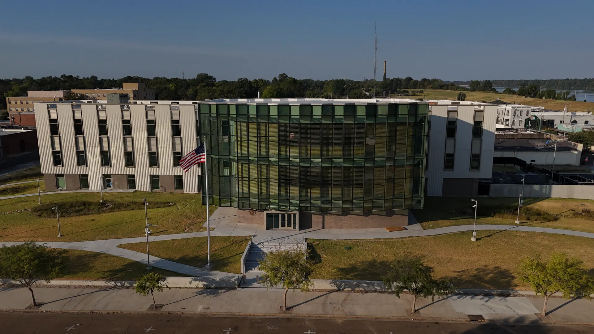
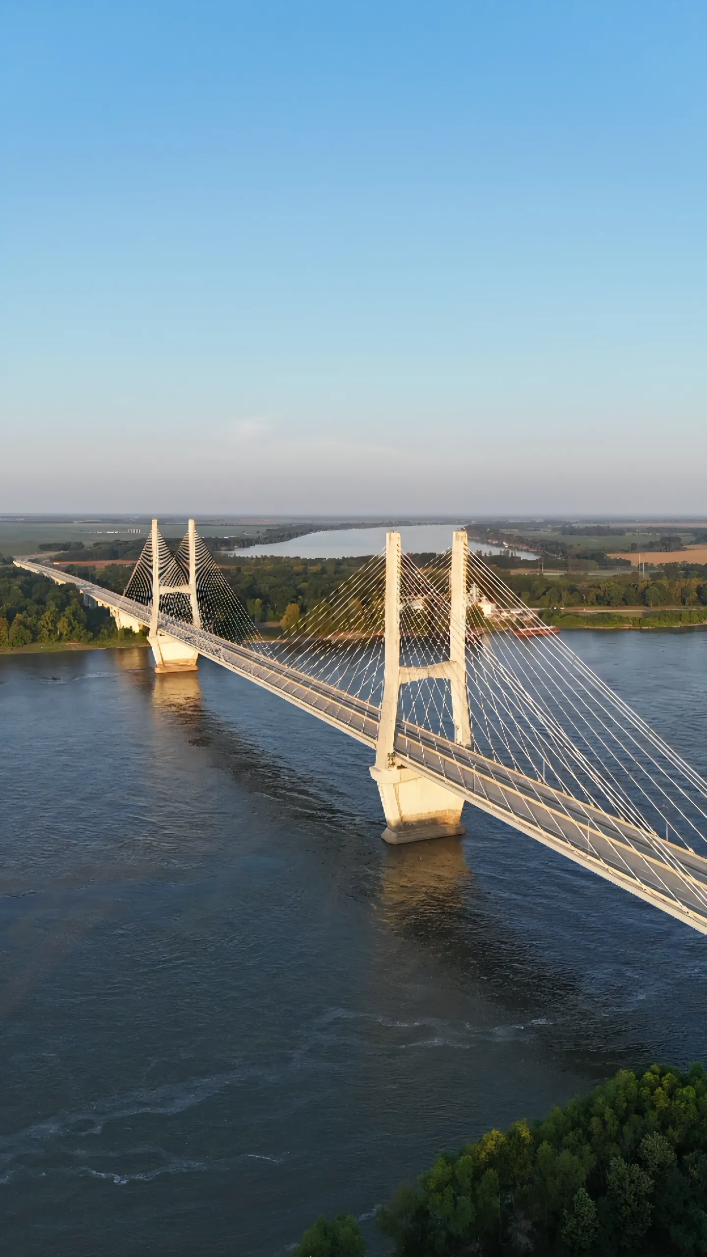
SkyPixels provides outdoor aerial photography, cinematic drone video, real-estate and land imagery, roof and tree visual documentation, construction-progress coverage, and non-survey RGB orthomosaics across the Mid-South and Gulf Coast region.
SkyPixels considers projects across a broad Mid-South and Gulf Coast region, reaching approximately Memphis to the north, New Orleans, Biloxi, and Mobile to the south, Shreveport to the west, and Birmingham to the east. Availability and travel costs are confirmed for each location before booking.
No. Airspace, property access, weather, visibility, safety, equipment, and current production capability can restrict a project. Every request receives a feasibility review before booking.
No. We can provide high-resolution RGB orthomosaics and visual context after a capability review, but not certified surveys, legal boundary establishment, LiDAR, RTK/PPK accuracy, or engineering-grade measurements.
We prefer rescheduling or adapting the flight when practical. Image quality and safe operation come first.
Not yet. Indoor real-estate photography is planned as a future service; it is not currently available for booking.